Larry Page
Google co-founder
Explore the world with high-res satellite imagery, 3D terrain, Street View, and historical timelapses — right in your browser.
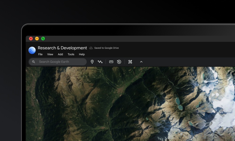
Google Earth is a free interactive globe with high-resolution satellite imagery, 3D terrain and buildings, and Street View, all running in the browser. Use it to scout locations, grab reference for designs and B-roll, build geo-tagged stories with custom projects, or watch a place change over decades with Timelapse and historical imagery. It's a go-to tool for creators, marketers, educators, and journalists who need real-world visual context fast.
Common questions about Google Earth
Traffic and momentum for Google Earth
1 similar tools

Scribble Maps
Draw on maps, add markers, routes, and shapes — create custom maps for presentations, websites, and projects.
The people behind Google Earth
Google co-founder
Google co-founder
CEO of Google and Alphabet
Comments